Bruntál volcanic field
| Bruntál volcanic field | |
|---|---|
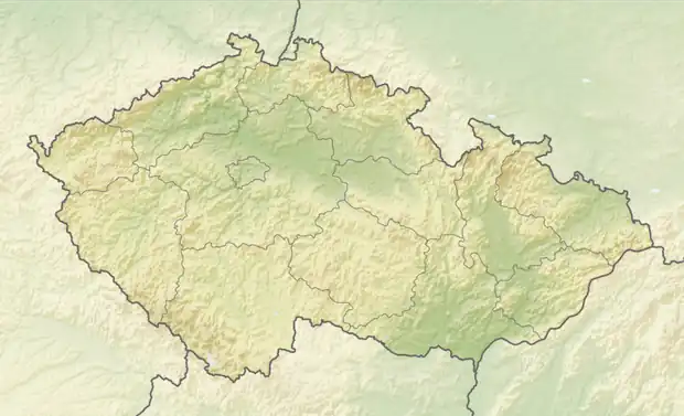  Bruntál volcanic field Location within Czech Republic | |
| Highest point | |
| Elevation | 780 m (2,560 ft)[1] |
| Coordinates | 49°52′48″N 17°28′30″E / 49.88°N 17.475°E[1] |
The Bruntál volcanic field is a volcanic field in the Nízký Jeseník region of the Czech Republic, named after the town of Bruntál. It consists of several lava flows and cinder cones that formed during the Pliocene and Pleistocene epochs. A potassium–argon date of 0.83 ± 0.12 million years was obtained from the hill Venušina sopka in 2012.[1]
Volcanoes
The Bruntál volcanic field includes the following extinct volcanoes (they last erupted 0.5–1 million years ago):[2]
| Name | Elevation[3] | Coordinates |
|---|---|---|
| Červená hora | 749 m (2,457 ft) | 49°46′36″N 17°32′28″E / 49.77667°N 17.54111°E |
| Malý Roudný | 772 m (2,533 ft) | 49°52′50″N 17°30′26″E / 49.88056°N 17.50722°E |
| Uhlířský vrch | 672 m (2,205 ft) | 49°58′22″N 17°26′23″E / 49.97278°N 17.43972°E |
| Velký Roudný | 780 m (2,560 ft) | 49°53′29″N 17°31′23″E / 49.89139°N 17.52306°E |
| Venušina sopka | 655 m (2,149 ft) | 49°57′3″N 17°28′40″E / 49.95083°N 17.47778°E |
| nameless hill near Volárna | 622 m (2,041 ft) | 49°53′37″N 17°29′24″E / 49.89361°N 17.49000°E |
See also
References
- 1 2 3 "Bruntal Volcanic Field". Global Volcanism Program. Smithsonian Institution.
- ↑ "Vydejte se sopečnou krajinou kolem Bruntálu" (in Czech). CzechTourism. Retrieved 2025-06-01.
- ↑ "Geoprohlížeč" (in Czech). State Administration of Land Surveying and Cadastre. Retrieved 2025-06-01.