Becca di Nana
| Becca di Nana | |
|---|---|
| French: Bec de Nannaz | |
 Becca di Nana from Becca Trecare | |
| Highest point | |
| Elevation | 3,010 m (9,880 ft)[1][2] |
| Prominence | 235 m (771 ft) |
| Coordinates | 45°50′57″N 7°41′05″E / 45.849220°N 7.684672°E |
| Geography | |
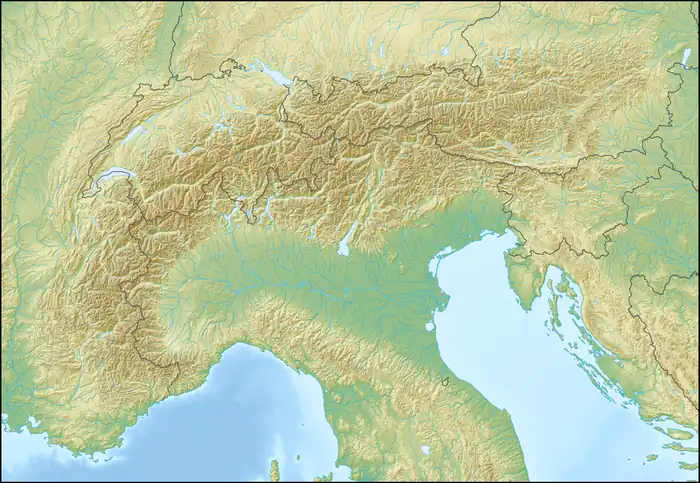  Becca di Nana Location within Alps | |
| Location | Aosta Valley, Italy |
Becca di Nana (French: Bec de Nannaz) is a 3,010 m (9,880 ft) tall mountain of the Pennine Alps in northern Italy. Its summit lies on the boundary between the municipalities of Chamois and Ayas in the Aosta Valley, Italy.
Description

Becca di Nana stands on the ridge dividing the Valtournenche in the west from the Ayas Valley to the east. The Col de Nannaz mountain pass (2,773 m, 9,098 ft) is located north of the summit along the ridge, and is followed by Becca Trecare (3,032 m, 9,948 ft).
The summit is home to a stone altar and a large cross erected by the Alpini in memory of 18 fellow soldiers who lost their lives in a tragic accident at Gavia Pass in 1954.[3] Every year, on 14 August, a Holy Mass is celebrated on the summit in remembrance of those who died in the mountains.
SOIUSA classification
According to the SOIUSA (International Standardized Mountain Subdivision of the Alps) the mountain can be classified in the following way:
- main part = Western Alps
- major sector = North Western Alps
- section = Pennine Alps
- subsection = Alpi del Monte Rosa
- supergroup = Contrafforti valdostani del Monte Rosa
- group = Costiera Tournalin-Zerbion
References
- ↑ "Bec de Nana 3010 m". Hikr.org (in Italian). Retrieved 11 July 2026.
- ↑ "Nodo: Becca di Nana (1278957309)". OpenStreetMap (in Italian). 29 September 2025. Retrieved 11 July 2026.
- ↑ "Col de Nana - Becca Trecaré - Bec de Nana". Comune di Chamois (in Italian). Retrieved 11 July 2026.
External links
 Media related to Becca di Nana at Wikimedia Commons