Bec Costazza
| Bec Costazza | |
|---|---|
 Bec Costazza and the Fenêtre de Champorcher | |
| Highest point | |
| Elevation | 3,092 m (10,144 ft)[1][2] |
| Coordinates | 45°35′36″N 7°30′16″E / 45.5934498°N 7.5044692°E |
| Geography | |
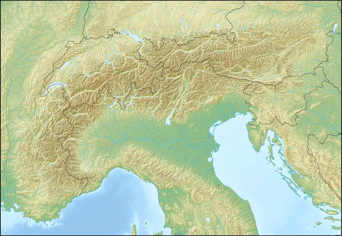  Bec Costazza Location within Alps | |
| Location | Aosta Valley, Italy |
Bec Costazza (French: Bec-Cotasse) is a 3,092 m (10,144 ft) tall mountain of the Graian Alps in northern Italy. Its summit lies on the boundary between the municipalities of Cogne and Champorcher in the Aosta Valley, Italy.
Description
Bec Costazza stands on the ridge separating the Champorcher Valley to the east from the Cogne Valley to the west. The ridge is crossed by the Fenêtre de Champorcher mountain pass, which lies immediately north of the summit.
SOIUSA classification
According to the SOIUSA (International Standardized Mountain Subdivision of the Alps) the mountain can be classified in the following way:
- main part = Western Alps
- major sector = North Western Alps
- section = Graian Alps
- subsection = Alpi del Gran Paradiso
- supergroup = Gruppo della Rosa dei Banchi
- group = Nodo della Rosa dei Banchi
Ascent
The summit can be climbed from both the Champorcher and the Cogne Valley. From the Champorcher Valley, the standard route begins at the Refuge Dondénaz, passes Lake Misérin, and continues up the mountain's south-eastern slopes to the summit. From the Cogne Valley, the route starts at the Refuge Sogno di Berdzé at Péradzà, crosses the Fenêtre de Champorcher, and follows the ridge to the summit.[3]
The first documented ascent was made in 1848 by Abbot Pierre Chanoux.[3]
References
- ↑ "Becco Costazza 3092 m". Hikr.org (in Italian). Retrieved 10 July 2026.
- ↑ "Nodo: Bec Costazza (963258604)". OpenStreetMap (in Italian). 9 June 2019. Retrieved 10 July 2026.
- 1 2 Massimo Martini. "Bec Costazza". Inalto (in Italian). Retrieved 10 July 2026.
External links
 Media related to Bec-Cotasse at Wikimedia Commons